Multispectral Imaging and Photogrammetry
Drone:
Conventional and Multispectral
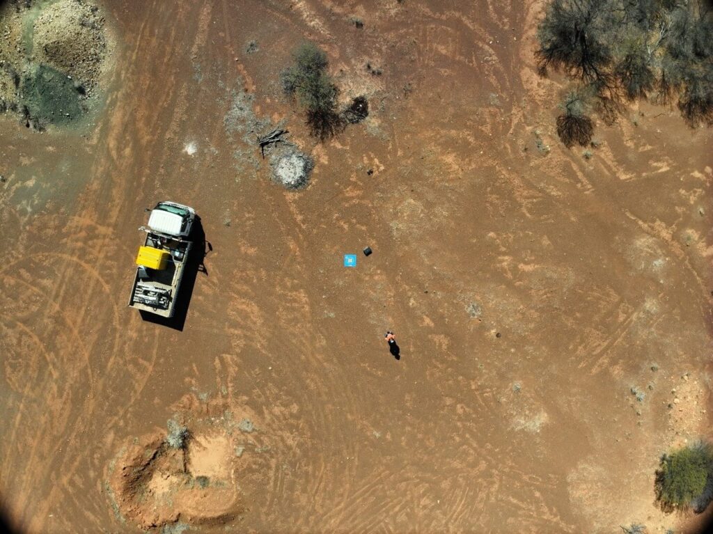
Envirocapture can provide both conventional and multispectral photogrammetry to either compliment LiDAR data capture or as the preferred data capture method. Where necessary terrain following flight paths can be used. Envirocapture can assess the project requirements and make a plan to best deliver the required results.
Multispectral photogrammetry can provide the typical plant health metrics such as Normalised Difference Vegetation Index (NDVI) as well as Normalised Difference Red Edge (NDRE) or specific processing based on site requirements.

