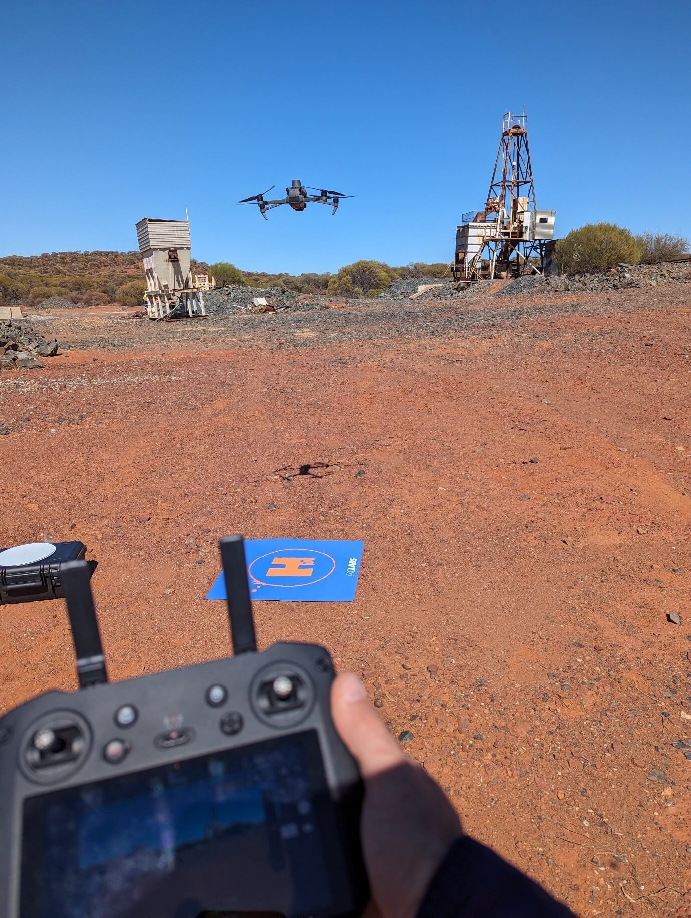
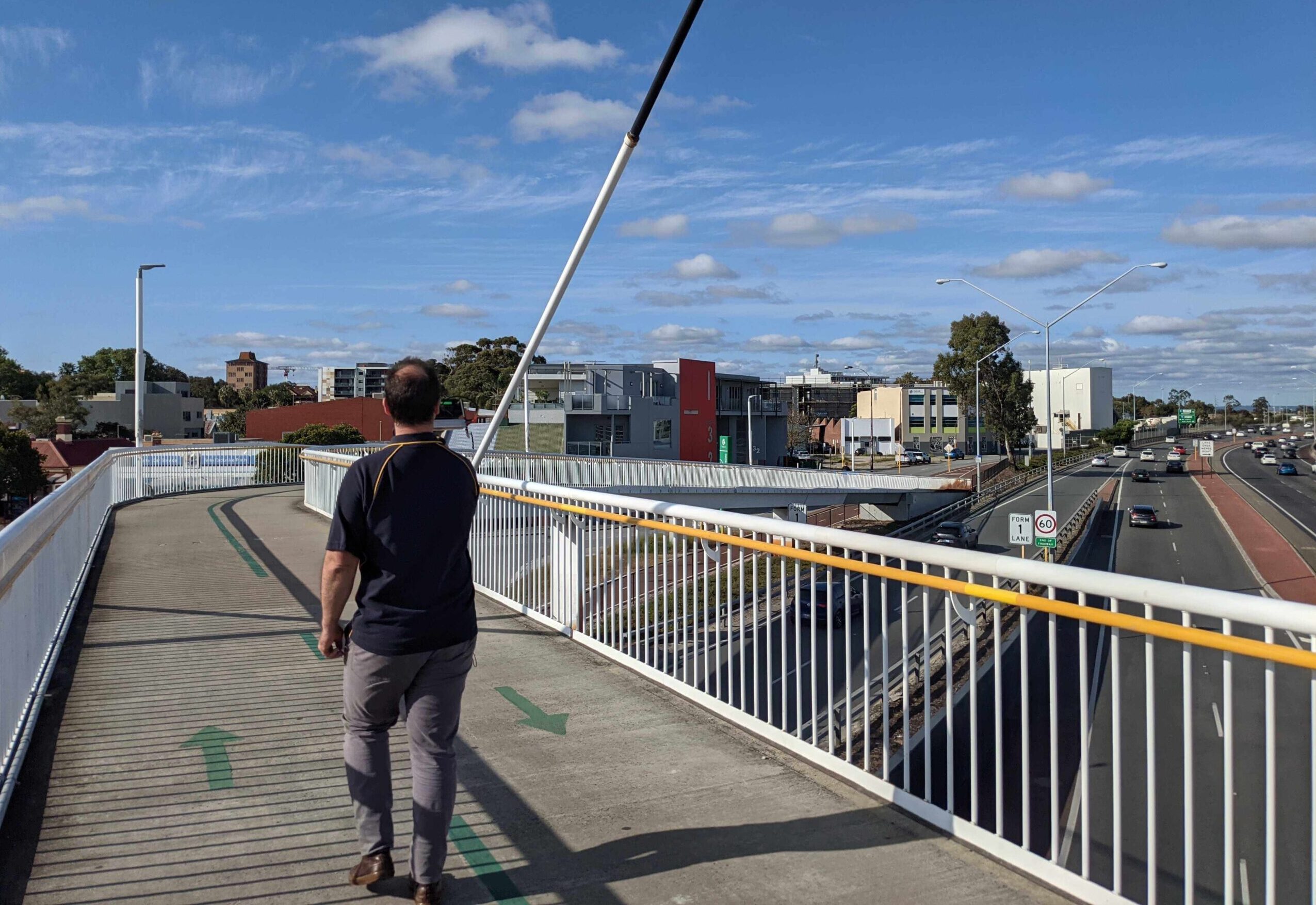
We are about capturing your environment, not just capturing the environment. Infrastructure data capture is work we have completed for clients across Australia.
We have the equipment to capture assets in GPS-denied environments as well as in urban/populated areas.
Using Hovermap LiDAR allows us to operate in GPS-denied environments which means we can scan under bridges, inside and outside buildings, in tunnels and pipes. There are multiple ways to geo-reference the data and integrate survey control.
If your project is not GPS-denied we can capture these projects too. Whether it is a high-resolution photogrammetry project or using one of our LiDAR solutions we can discuss the solution which is most appropriate for your project.


