Drone-Mounted
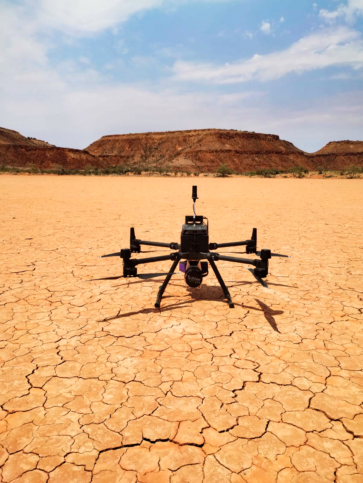
Envirocapture have been using Emesent and GeoCue LiDAR systems to capture the data you need. We look at each project and work to understand the final output required. With this in mind we can adapt the data capture system to ensure you get the results you need.
Our GeoCue TrueView LiDAR allows us to cover broad areas capturing high-accuracy data whilst ensuring overall project spatial accuracy.


