by Envirocapture | Nov 1, 2021 | Services
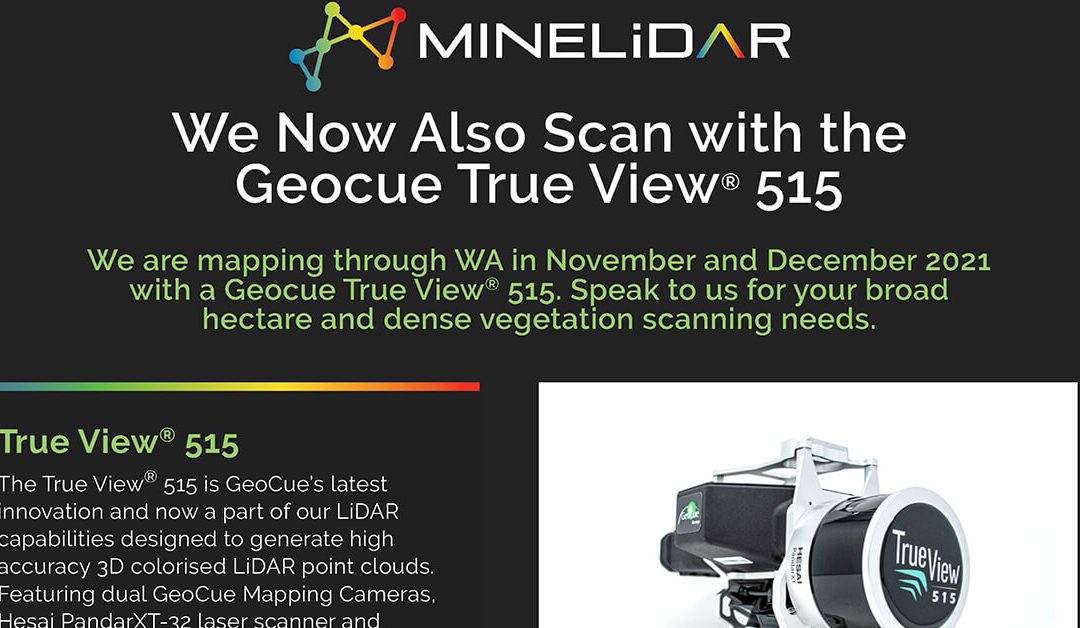
We can now scan broad hectare and dense vegetation areas thanks to the GeoCue Group True View® 515 scanner throughout November and December 2021. MineLiDAR Geocue True View 515 Scanning See More See more and make measured decisions with our MineLiDAR services. Get in...
by Envirocapture | Mar 25, 2021 | Article
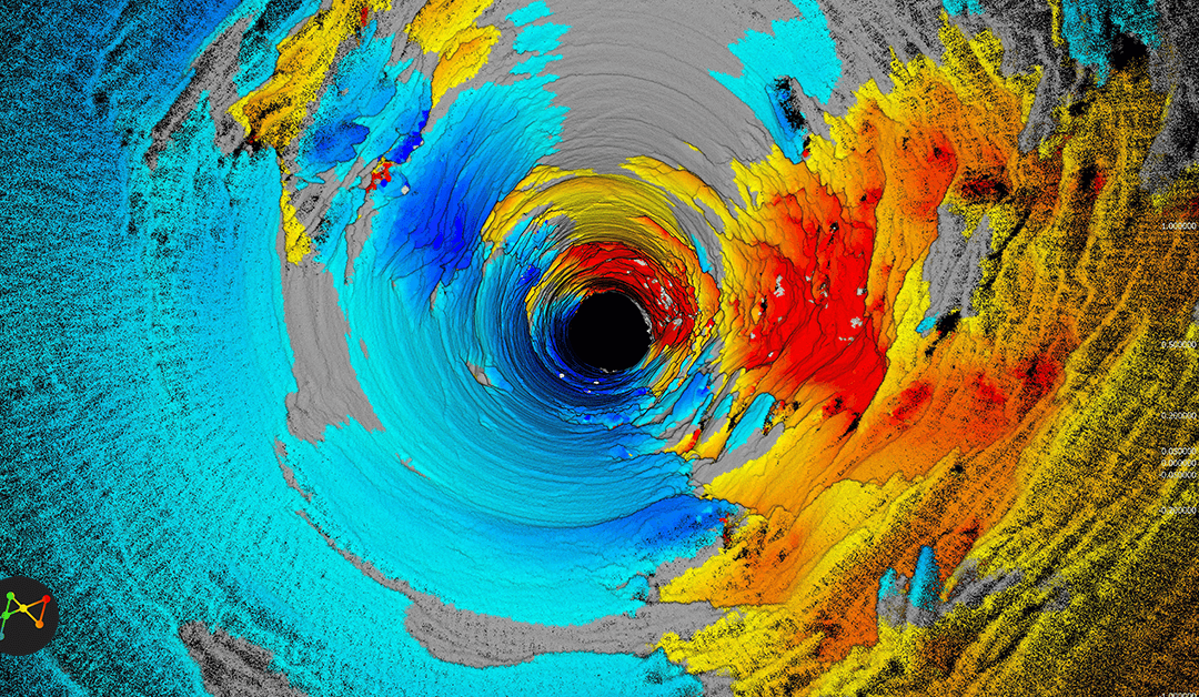
We conduct geotechnical analyses of raisebores using LiDAR scans and data to enable us to see more. Curious to find out more? Learn more with our presentation on Geotechnical Analysis of Raisebores Using LiDAR Data presented by MineLiDAR Director, Peter Evans at the...
by Envirocapture | Jan 6, 2021 | Article
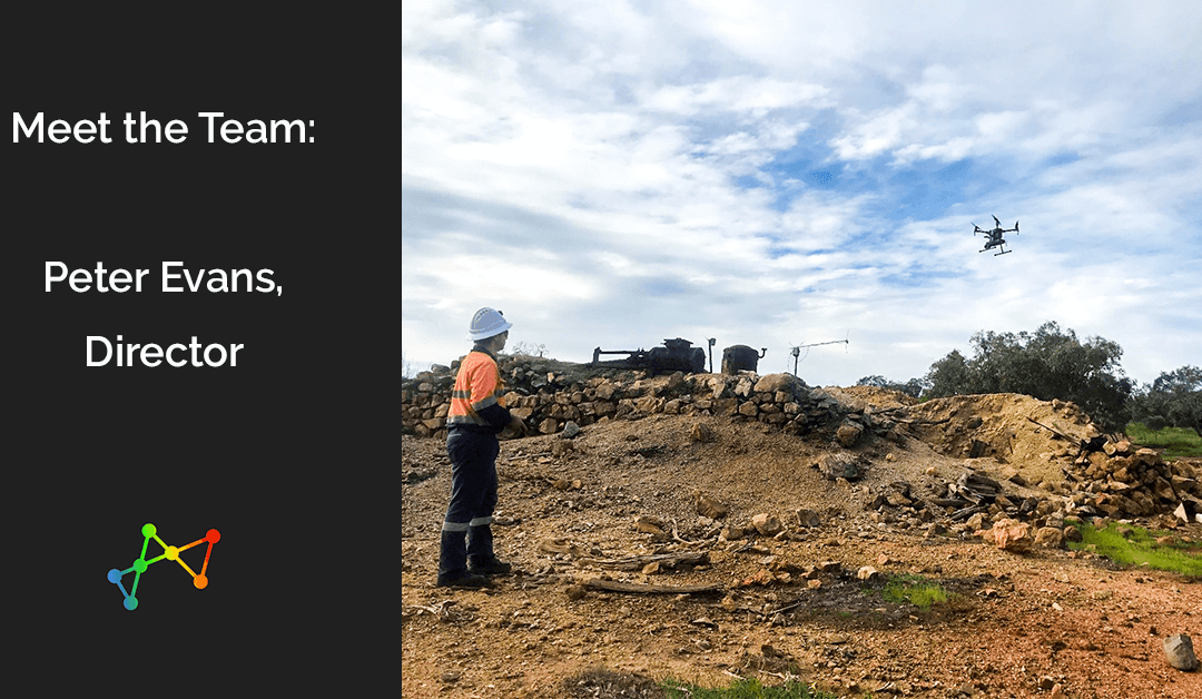
What is your role, and how long have you been at MineGeoTech before also becoming one of the Directors at MineLiDAR? I have been the Senior Geotech Engineer at MGT for 6 years, I have also been a director with MineLiDAR (MLD) for 12 months. I started playing around...
by Envirocapture | Dec 8, 2020 | Article
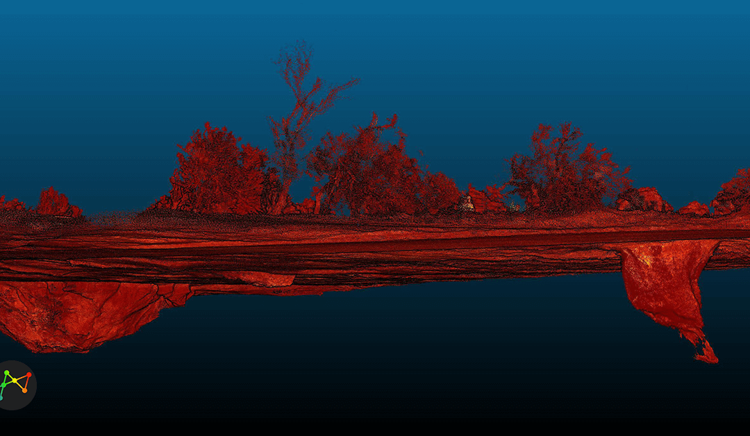
LIDARLight Detection and Ranging (LIDAR) technology uses lasers to illuminate a target and measure the reflected light using sensors which convert the information into data for use in visual analysis. MINELiDAR’s scanning technology differs from standard survey...
by Envirocapture | Nov 11, 2020 | Article
We are excited to share with you our latest article on LiDAR and 3D technology, published in the Australian Mining Review. MineLiDAR Director, Peter Evans, was interviewed for this article in which we explore: What is LiDAR (Light Detection and Ranging)?What is SLAM...


