by Envirocapture | Sep 13, 2022 | Article
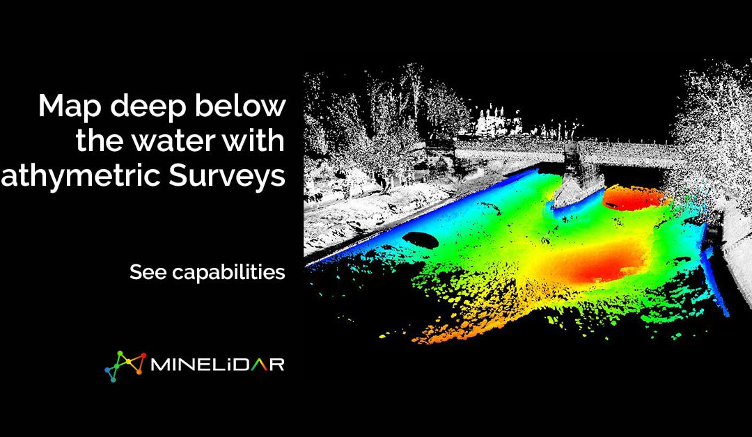
Bathymetry is the study and measurement of the depth at various places in a body of water, including rivers, streams, and lakes. Bathymetric surveys allow us to measure the depth of a water body as well as map the underwater features of a water body. Multiple...

by Envirocapture | Aug 24, 2022 | Article
LiDAR scanning data overlain on digitised mine plans LiDAR scanning is the process of using laser light to map objects in 3D. It can be used to map the inside of buildings, for geology, mapping forested areas, and more. The mining industry is one of the largest and...

by Envirocapture | Aug 16, 2022 | Article
The term LiDAR (light radar) comes from Light Detecting And Ranging. LiDAR scanning is a surveying technique that measures distance by illuminating the target with laser light and measuring the intensity of the light coming back to the sensor. A LiDAR scanner creates...

by Envirocapture | Jul 5, 2022 | Podcast
Advances in technology have defined the way we’re doing things both above and below ground. With so many new developments on the horizon, what does the future hold for us miners? Join Peter Finn, managing director of FACE Contracting, as he sits down with...

by Envirocapture | Feb 16, 2022 | Services
We want to help people understand sedimentation, profile changes, anomalies, and wall instabilities, and see more below the water. How? Through bathymetric surveys. See more and make measured decisions with our MineLiDAR services. Get in touch >Our Services >View...


